Brooklyn Greenways Plan Aims to Connect More Neighborhoods to Parks
City proposals outline new bike-pedestrian corridors linking underserved communities to riverfront and pocket parks over five years.
By Dominic Russo · April 1, 2026 · 5 min read
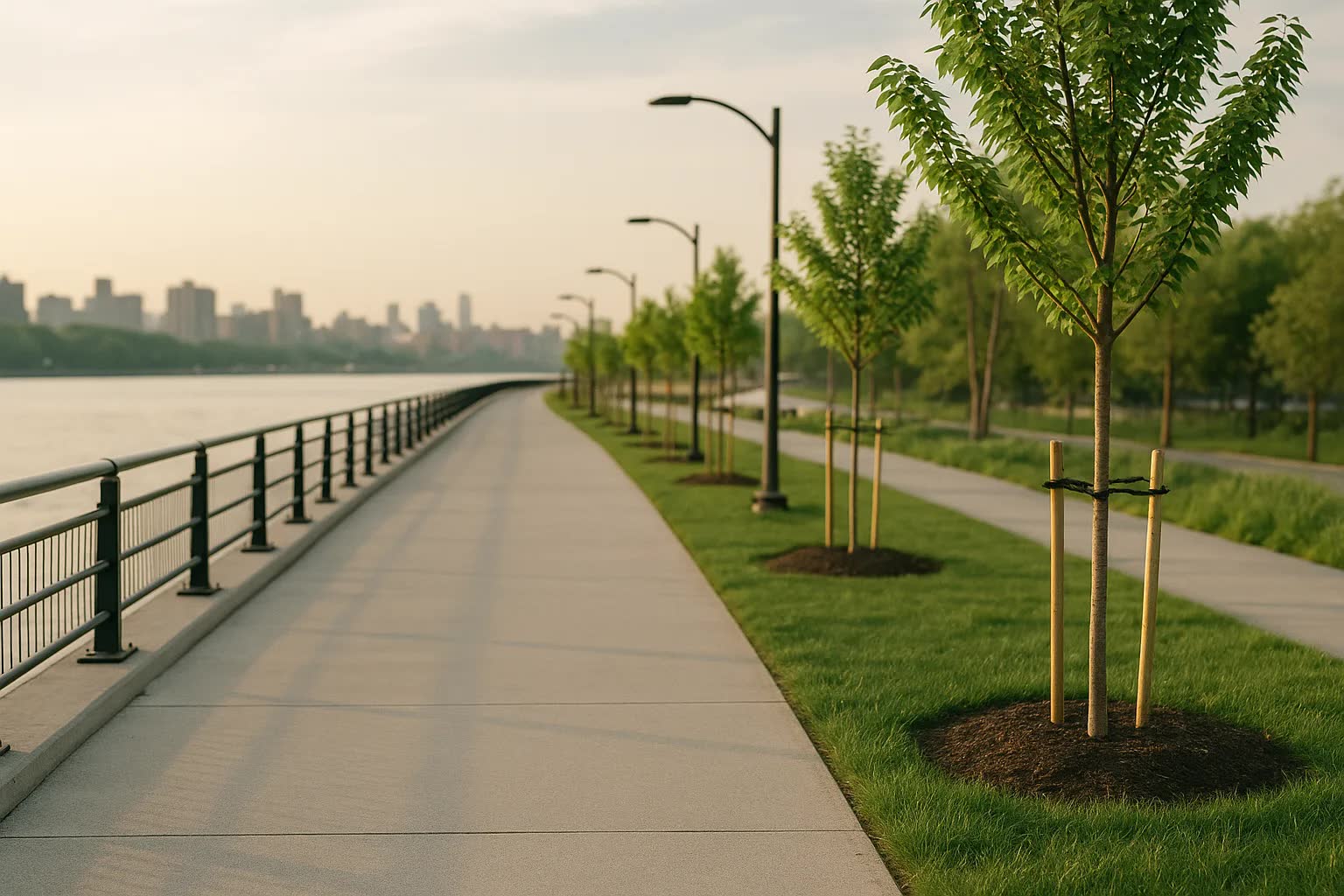
NEW YORK — A citywide push to knit more neighborhoods into a network of bike-and-pedestrian corridors is sharpening its focus on Brooklyn, where planners say new greenways would link communities from Greenpoint and Williamsburg to Red Hook and Coney Island, while parallel proposals aim to extend connections in the Bronx along the waterfront and the Bronx River. The five-year plan being circulated by city agencies on Wednesday prioritizes access to parks, riverfront promenades and pocket gardens in neighborhoods long underserved by safe walking and cycling routes, arguing that expanded greenways can cut commute times, reduce isolation and improve storm resiliency in low-income areas.
The package of proposals, compiled by the Department of Transportation in consultation with the Department of Parks and Recreation and several community coalitions, maps out corridors that would convert underused streets, former freight right-of-ways and narrow waterfront strips into protected bike lanes, widened sidewalks and planted linear parks. In Brooklyn the proposals show a corridor running south along Third Avenue through Gowanus into Carroll Gardens and Red Hook, a spine along Fourth Avenue linking Sunset Park to Bay Ridge, and enhanced riverfront access at the Brooklyn Army Terminal and the Brooklyn Bridge Park perimeters. City planners also included a Bronx appendix with envisioned extensions of the Bronx River Greenway north from Mott Haven to Pelham Bay and new shorefront paths in Hunts Point and Soundview.
“This is about restorative access,” said Lena Ortiz, director of the Brooklyn Greenways Initiative, a nonprofit that helped draft community input for the plan. “For too long South Brooklyn and parts of East New York have been cut off from parks not because the green space isn’t there, but because there are no safe, continuous ways to get to them on foot or by bike. These corridors are designed to be calm, tree-lined and oriented around pedestrians, not speeding cars.”
City officials are pitching the effort as measured and data-driven: the draft budget accompanying the plan calls for $145 million in capital investment across the initial five-year phase, with a goal of building 34 miles of protected greenway corridors and renovating 18 pocket parks. The plan targets 24 neighborhoods for direct intervention, aims to add 1,200 new bike racks and 3,500 street trees, and promises intersection upgrades at roughly 220 dangerous crossings. Officials estimate the projects will shorten average non-motorized travel time to the nearest park by 25 percent for households in the targeted zones and create 420 construction and maintenance jobs during the first phase.
In Brooklyn the planning documents translate into specific interventions: a continuous protected bikeway down Kent Avenue that would knit McCarren Park to the Brooklyn Navy Yard waterfront, traffic-calming treatments on Flatbush Avenue to make the approach to Prospect Park safer for pedestrians, and several new pedestrian plazas on Atlantic Avenue in the areas near Brooklyn College. In East New York and Brownsville the city proposes to convert vacant lots into pocket parks and to build a raised, planted boardwalk above a frequently flooded stretch of Linden Boulevard so residents can walk to nearby schoolyards and community gardens year-round.
The Bronx proposals are narrower on paper but ambitious in scope, focused on extending the Bronx River Greenway and building shorefront links in Hunts Point and Soundview that would connect residents to Pelham Bay Park and the East River esplanade. “We see this as both an environmental and an equity project,” said Aisha Rahman, deputy commissioner for Active Streets at the Department of City Planning. “By restoring riparian buffers along the Bronx River and installing permeable surfaces and native plantings, we can reduce flooding, improve air quality and make daily travel healthier — especially in neighborhoods that have suffered from industrial pollution and disinvestment.”
Community groups and small-business owners gave a mixture of cautious praise and pointed questions at the plan’s public rollout. In Mott Haven, where several blocks near the river host food wholesale businesses and bodegas, Rafael Jimenez, owner of a third-generation bodega on 150th Street, said, “We want sidewalks that moms and kids can use, not just new bike lanes that push more traffic on to our narrow streets.” Local civic associations in Bay Ridge and Park Slope urged the city to preserve loading zones and emergency vehicle access while adding pedestrian-friendly elements, saying that business continuity must be factored into design choices.
Planners acknowledged trade-offs and potential hurdles: coordinating among multiple agencies, securing long-term maintenance funding and confronting the specter of displacement that often accompanies neighborhood upgrades. “The infrastructure isn’t the whole answer,” said Marisol Hernandez, a tenant organizer in East New York. “If greenways raise rents and push people out, then we’ll have sidewalks full of tourists and no one left from the communities who fought for them.” City officials said community benefit agreements, anti-displacement measures and local hiring commitments would be part of later phases of the plan, though details are still being negotiated.
Technical work around the plan will include pilot projects this summer — temporary curb extensions, painted protected bike lanes and pop-up pocket parks — to test designs before permanent construction begins. Officials expect to hold a series of community design sessions starting in May in Brooklyn library branches from Sunset Park to Bushwick and in Bronx public schools and AME church halls in Mott Haven and Hunts Point. Construction on the first tranche of permanent greenways is slated to begin in late 2026, subject to the city’s capital approval process and final environmental reviews.
Advocates and planners say the greenways are intended to be living projects: monitored, adjusted and expanded as needs evolve. If the city adheres to its timeline, the initial five-year phase will be largely complete by 2031, leaving room for future extensions and for a broader citywide evaluation of how greenways affect travel patterns, public health and housing markets. Residents in Brooklyn and the Bronx said they will be watching closely — and that the measure of success will not be design renderings but whether children can safely walk to parks and whether long-time neighbors remain in place to use them. The next public hearing is scheduled for mid-April, when officials expect to present refined cost estimates and an updated map of neighborhood-specific interventions.