Lower Manhattan Installs Street-Level Flood Sensors to Protect Financial District
A network of curbside water-level sensors and wireless nodes promises earlier alerts for businesses and transit hubs as sea-level rise accelerates.
By Keisha Brown · December 5, 2025 · 4 min read
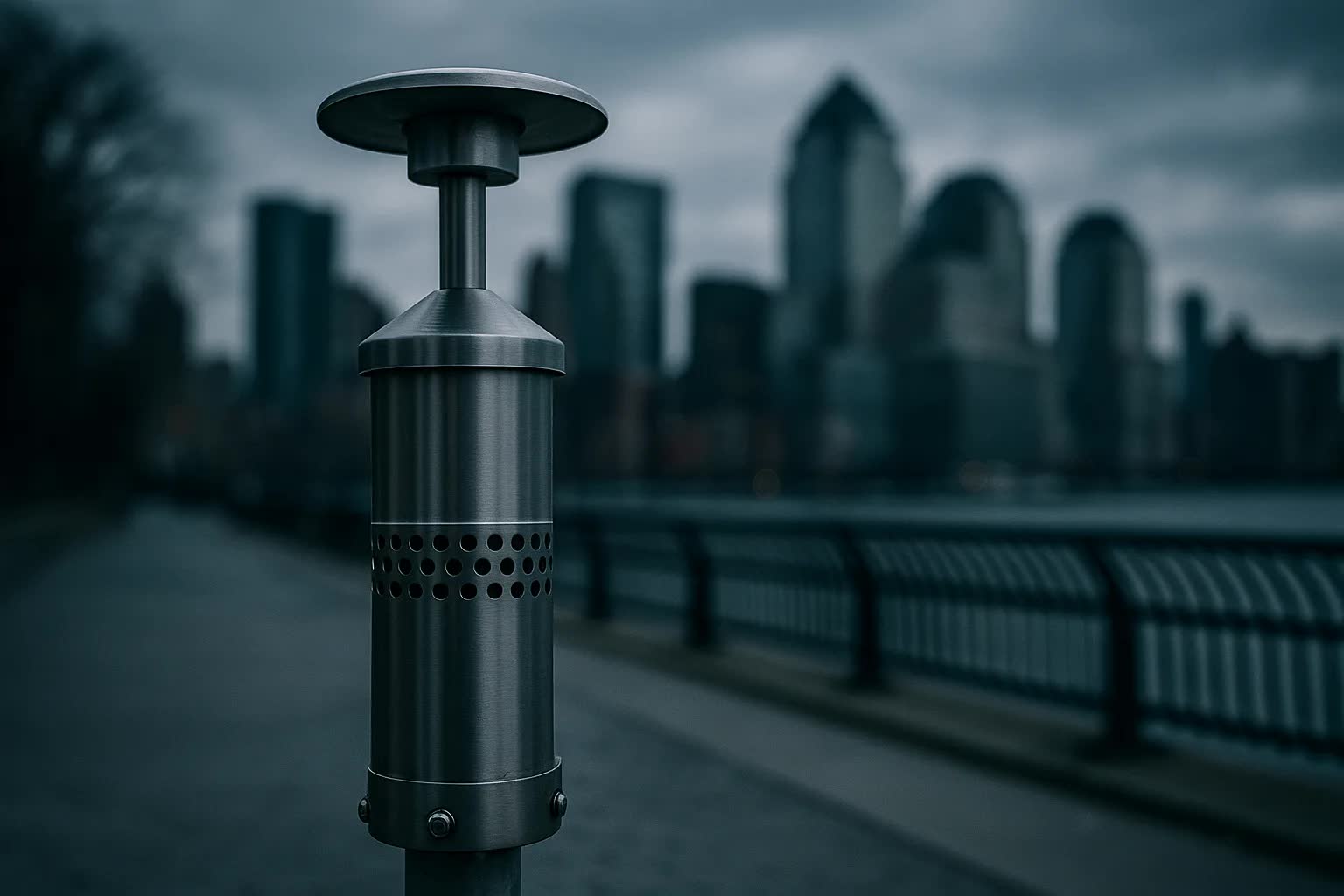
Lower Manhattan has installed a network of curbside water-level sensors and wireless relay nodes along the Financial District waterfront in a bid to give banks, shops and transit hubs earlier warnings as sea-level rise inches closer to daily reality, officials announced Friday in Battery Park and at the South Street Seaport. The system, now live on stretches of Water Street, Broad Street and around the Fulton Street transit complex, is designed to detect street flooding at the curb line and push immediate alerts to building managers, business owners and emergency dispatchers so they can act before high tides or storm surges reach doorways or subway entrances.
The equipment—compact, storm-resistant modules placed at the curb and mounted on light poles—relays water measurements every minute to a mesh of wireless nodes that in turn encrypt and forward data to a city-run cloud platform. The platform aggregates sensor readings with tide forecasts, rainfall radar and sewer flow information to trigger tiered alerts. Lower thresholds will generate automated emails and texts for retailers; higher thresholds will send real-time feed updates to the city's emergency operations center and to operators at several transit agencies serving the area.
Project partners say the deployment is the culmination of a two-year pilot that began after a 2023 storm flooded parts of the Seaport and inundated the southern entrances to the Fulton Street Transit Center. The initiative is led by the Lower Manhattan Resilience Authority, funded with a combination of municipal resilience bonds and private contributions from a consortium of property managers, and built by AquaSense Labs, a local startup that won the contract in a competitive procurement last summer. Local business improvement districts in Stone Street, Hanover Square and Battery Park City helped coordinate siting and permits.
Officials gave specific figures: the initial rollout comprises 1,250 curb-level sensors and 360 wireless relay nodes covering roughly 16 miles of curb in the southern tip of Manhattan, with each sensor sampling water depth once a minute and the nodes designed for five years of field operation between scheduled maintenance cycles. The program carried an $22 million price tag; about $15 million came from a city resilience bond while the remainder was matched by property and business contributions. Modeling by project engineers projects that, compared with relying solely on tide tables and distant gauges, the curb network can provide 20 to 40 minutes of earlier, location-specific warning for flooding at critical doorways and subway grates.
Business leaders welcomed the added lead time. “For many small restaurants and shops in the Seaport and Stone Street corridors, those extra minutes mean the difference between a wet mop and a closed board-up,” said Amina Reyes, resilience director for the Lower Manhattan Business Improvement District. “This system gives individual store owners tailored, street-level information that larger, regional flood models can't provide. It helps us decide whether to pull sandbags, deploy temporary door barriers, or move electrical gear off the floor.”
Not everyone in the transit world spoke on the record. “From an operational standpoint, getting a heads-up that a particular grate at Fulton or Whitehall is advancing toward critical depth even 15 minutes earlier changes decisions about temporary closures and pumping,” said a senior MTA planner who requested anonymity. The planner said the authority is testing automated tie-ins so station agents and tunnel teams can be warned through their existing incident-management apps rather than via separate email threads.
Technically, the devices combine ultrasonic and pressure-sensing elements with temperature compensation to minimize false readings from vehicle splash or freeze-thaw events, according to AquaSense engineers. The wireless mesh uses a low-power wide-area protocol to preserve battery life; nodes pre-process raw readings and run a lightweight anomaly detector at the edge to cut false positives. Data streams feed a predictive model that ingests National Oceanic and Atmospheric Administration tide forecasts and short-term radar-based rainfall nowcasts to project curb flooding probabilities up to 90 minutes ahead on a block-by-block basis.
The field rollout exposed practical challenges that municipal planners had to address. Cobblestone streets and historic curbs in the Seaport required custom brackets; sidewalk cafes and planters forced some sensors to be inset in tree pits rather than on the curb itself. Small businesses have concerns about maintenance costs and possible false alarms. “We already run on slim margins, so any safety system has to have very low upkeep and be demonstrably reliable,” said Marcus Cole, director of infrastructure at the Seaport Transit Alliance. “The city’s maintenance agreement — which includes free battery swaps for the first three years and scheduled calibration — was essential to getting local landlords and tenants on board.”
Privacy, data governance and the patchwork of ownership along the waterfront remain unresolved items on the project's roadmap. Project managers said sensors do not capture imagery and that water-level data will be shared under a formal data-use agreement that limits commercial resale and includes an open-data feed for researchers. Officials also said they will coordinate with planned hard infrastructure projects—raised sidewalks and retractable barriers already underway near Battery Park City and the East River promenade—so that sensor-based alerts complement, rather than duplicate, physical defenses.
City officials and local stakeholders said the sensor network is intended as a pilot that would be evaluated after 12 months of full operation, with an eye toward expanding along the East River and to vulnerable corridors in Brooklyn and Queens. Planners hope the program will prove that dense, street-level sensing can shrink response windows, reduce flood-related business closures and inform where to place future capital investments; if the numbers hold, the next phase could begin as soon as spring 2026, with scaled deployments and tighter integration into insurance and utility response systems aimed at keeping Lower Manhattan moving despite rising tides.