When Satellites Become Shared Eyes on a Changing Planet
A hummingbird-shaped radar image of East Antarctica introduces NISAR, the joint NASA-ISRO satellite whose newly public data offers a model for international cooperation on a warming planet.
By Iris Ye · July 28, 2026 · 5 min read
A newly released satellite image of East Antarctica resembles a hummingbird in flight. Its wings stretch across a stream of ice, while its body appears to be formed by a mountaintop rising above the frozen landscape.
The image comes from the NASA-ISRO Synthetic Aperture Radar satellite, known as NISAR. NASA and the Indian Space Research Organisation began making data from the satellite's two radar instruments publicly available on July 20. NASA's Jet Propulsion Laboratory released the Antarctic image the following day.
Unlike an ordinary photograph, the image was produced using microwave signals from NISAR's L-band radar. The technology allows the satellite to observe Earth's surface through clouds and darkness and detect changes in ice sheets, forests, wetlands, farmland and the ground itself.
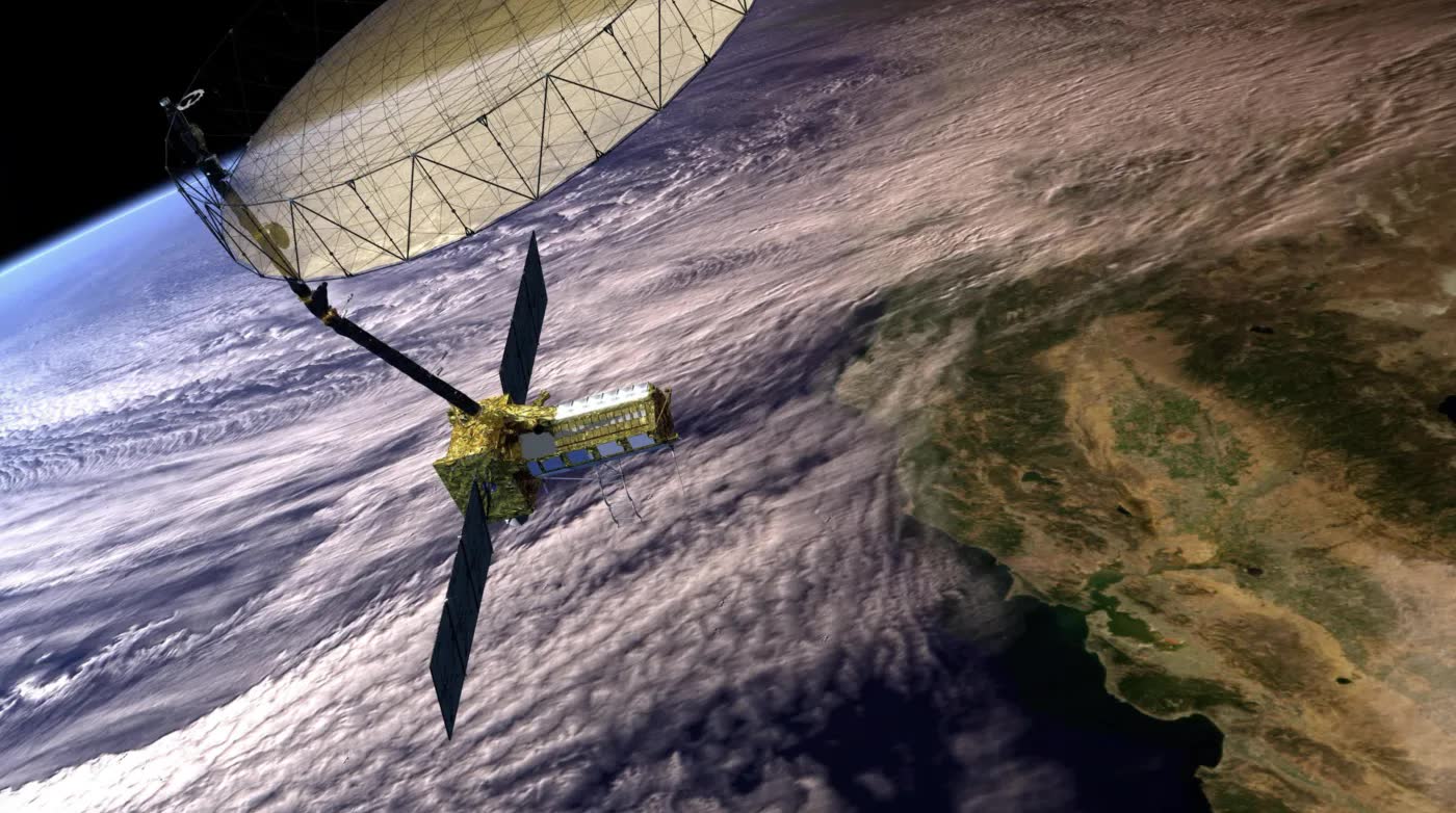
NISAR was launched from India on July 30, 2025, following years of collaboration between NASA and ISRO. The two agencies jointly developed the satellite, combining American and Indian radar, spacecraft and launch technologies.
The mission uses two radar systems operating at different wavelengths. It is designed to observe nearly all of Earth's land and ice-covered surfaces twice every 12 days, creating a repeated record of environmental and geological change.
The data could support research into climate change, natural hazards and resource management. Measurements of land deformation may help scientists study earthquakes, landslides and volcanic activity. Observations of soil, forests and farmland could improve the management of food and water resources. Data on glaciers, wetlands and coastlines may also help researchers better understand sea-level rise, flooding and erosion.
NISAR also offers a model for international scientific cooperation.
Climate change, water scarcity, ecosystem loss and natural disasters extend across national borders. Understanding them requires observations that cover large regions and continue over long periods of time. Satellites provide that global perspective, while open data can make the information available beyond the countries that built the technology.
Researchers, government agencies and disaster-response organizations in countries without advanced Earth-observation satellites may be able to use NISAR data alongside scientists in the United States and India. Open access cannot erase gaps in technical capacity, but it can expand participation in environmental research and disaster preparation.
The mission arrives as space technology is increasingly discussed through the language of geopolitical competition. Countries are investing in satellites, launch systems and advanced sensors as strategic assets. NISAR presents another use of space infrastructure: producing shared knowledge about environmental risks faced by communities around the world.
Its significance will depend on how widely the data is used and whether it reaches scientists, governments and communities that need it most.
The Antarctic "hummingbird" offers a visually striking introduction to that larger purpose. Beneath its recognizable shape is a detailed record of ice and terrain, captured as part of a long-term effort to understand a changing planet.
As climate risks become more interconnected, the future of Earth observation will depend on who can access this information and how countries choose to use it.